The cart is empty.
{{shoppingcart.totalQuantityDisplay}}
Total:
{{shoppingcart.subtotal}}
{{shoppingcart.total}}

 View Cart {{shoppingcart.totalQuantityDisplay}} Item(s)
View Cart {{shoppingcart.totalQuantityDisplay}} Item(s)


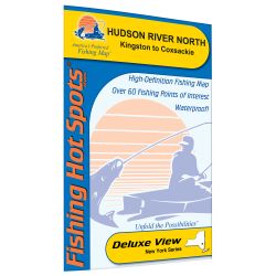 New York Hudson Riv...
 Upland Springer and...
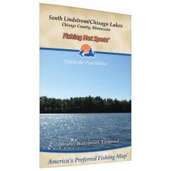 Minnesota South Lin...
 We will Never Forge...